

Virtual Gallery - Kaingaroa Forest

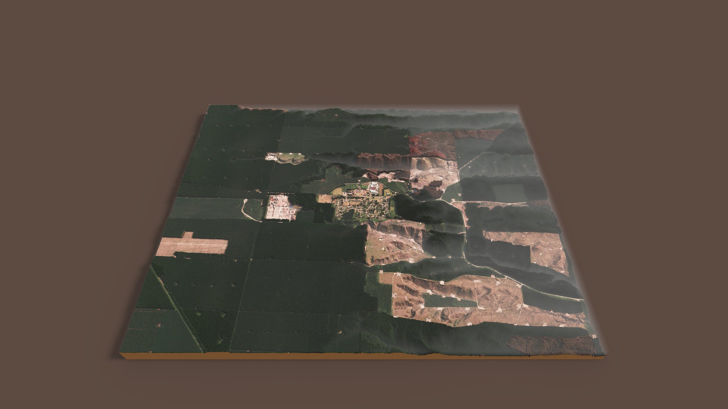
I present a virtual gallery of Kaingaroa Forest, New Zealand, depicted in a model diorama style. Nestled amongst some 68,000 hectares of pine forest lies a town of around 400 people.
The purpose of this gallery is to showcase an area of New Zealand and highlight it’s beauty, through data. Although pine forests are not typically seen as a defining feature of New Zealand's landscapes, they offer their own unique appeal.
Data
The two datasets used were a DSM, and aerial imagery. Both sources were captured within a 2019 - 2024 window. Noted, the year range is rather large. It proved not to be an issue for this work.
All data used was gathered from;
LINZ Data Service, https://data.linz.govt.nz/
Aerial Imagery (contextual)
OpenTopography, https://opentopography.org/
Point cloud (used to create the DEM and DSM)
Source credits: BoPLASS and LINZ CC by 4.0.
Method
I created my own DSM from the point cloud and brought it into a 3D modelling software. I blended a few hillshades with aerial imagery. This was draped over the 3D grid. Other map components; text, inset maps, marginalia… were added after a scene was rendered.
The Gallery
The Town


The Forest


Other Stuff


This is my first gallery-type blog post. It was a fun exercise, picking an area and seeing what you can create. More galleries will follow. The future is for refinement.
If you have any questions, please get in touch at info.maphustle@gmail.com.
Thanks!